Drone

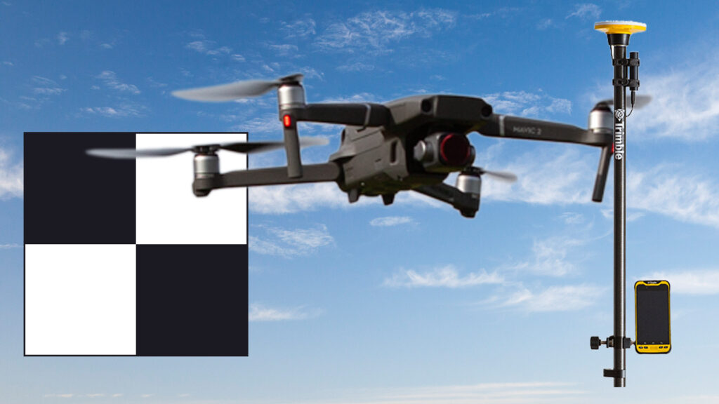
A Ground Control Point (GCP) is a crucial element in drone operations for accurate georeferencing and mapping. Drones capture images or data during flights, and GCPs serve as reference points on the ground with known coordinates. By strategically placing GCPs and incorporating them into the drone’s mapping process, operators can enhance the precision of spatial data, minimize errors, and ensure reliable geospatial information. This synergy between drones and GCPs is fundamental for applications such as surveying, agriculture, and infrastructure development, where precision and accuracy are paramount.


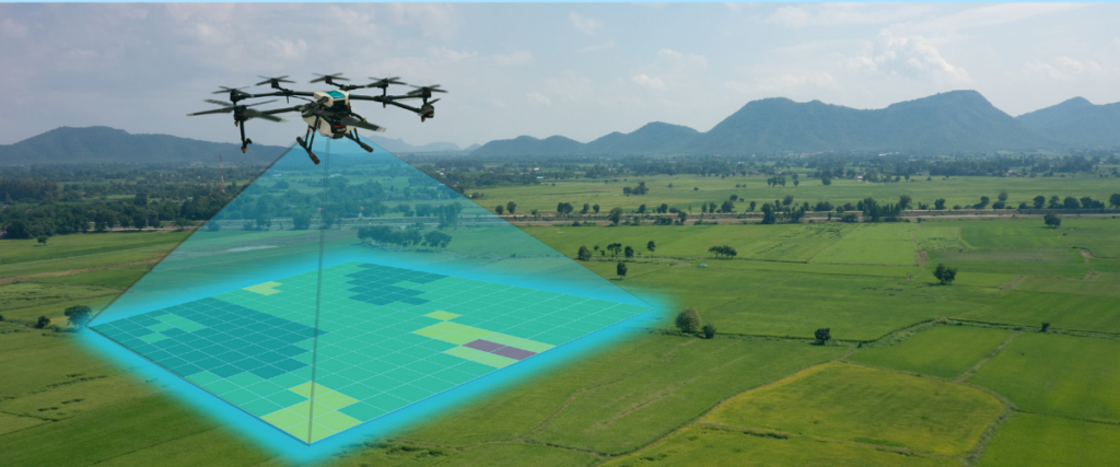
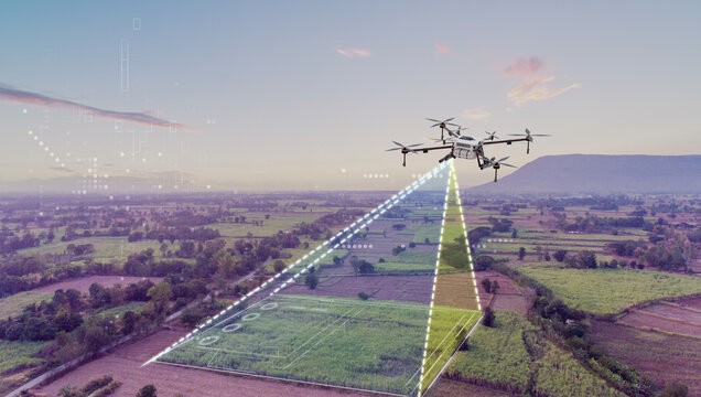
A drone, short for unmanned aerial vehicle (UAV), is a versatile and unmanned aircraft that can be controlled remotely or operate autonomously. Drones come in various sizes and are equipped with cameras, sensors, or other payloads for tasks such as aerial photography, surveillance, mapping, and even package delivery. They offer a cost-effective and efficient solution for tasks that may be difficult or dangerous for humans to perform. Drones have found applications in fields ranging from agriculture and environmental monitoring to search and rescue operations, making them valuable tools in a wide range of industries.
- Data Storage and Processing
- Machine Learning and AI Integration
- Real-time Monitoring and Analytics
- Geospatial Analysis
- Integration with IoT Devices
- Cost-Efficiency
- Collaboration and Accessibility
- Security and Compliance
